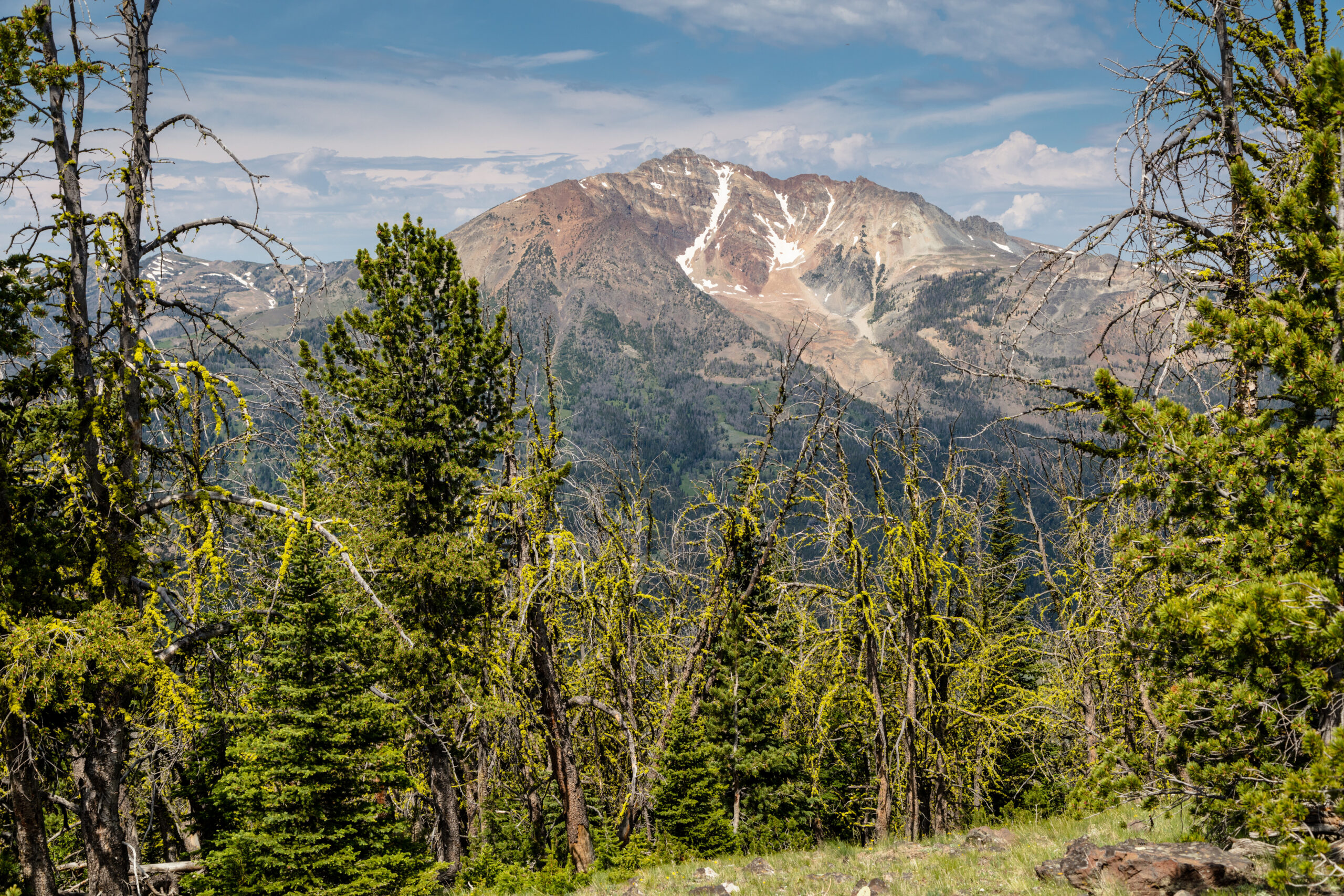
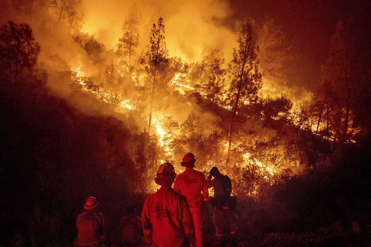
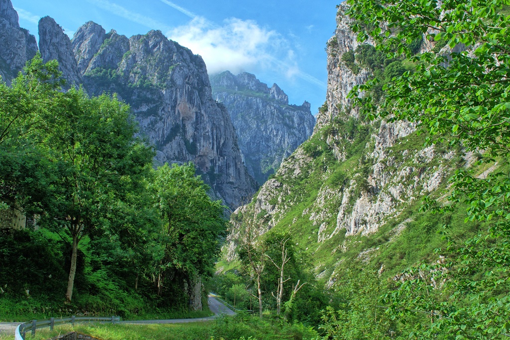
Nature is priceless. Protecting it with ForestSAT App is cheap
Pricing is based on area under observation


Small Investment in Saving priceless Natural Heritage & Engaginng Community in Conservation
Hosting & Upgrades Included
-
3 EO Satellites
-
Fire Risk Information
-
Historical Analysis
-
Social Collaboration
-
-
-
12 Satellites
-
Over 30 analytics
-
Historica Data
-
Fore Hazard Advisory
-
Add Local Data
-
Drone, Aerial, Field Images
All Your Questions
ForestSAT App is complex in its engineering but easy to implement
No you will need no specialised GIS software
No, ForestSAT app use requires no technical skills
No. We get all satellite data from multiple satellites.
Yes, we invite you to add any local data
No, the app can be downloaded by unlimited number of users defined by you. You will be in control of app on iOS and Android marketplaces.
We would like very much to work with your local tech institutes and help build their knowledge and capacity.
Yes, we can create a payment plan
We work with many partners who provide financing to economically backward regions. We can present your application for financing to our financing partners.
This is a welcome approach and we are willing to discuss result oriented financing.
ForestSAT As specializes in nature based solutions and nature finance. We can certainly help you with carbon credits.
