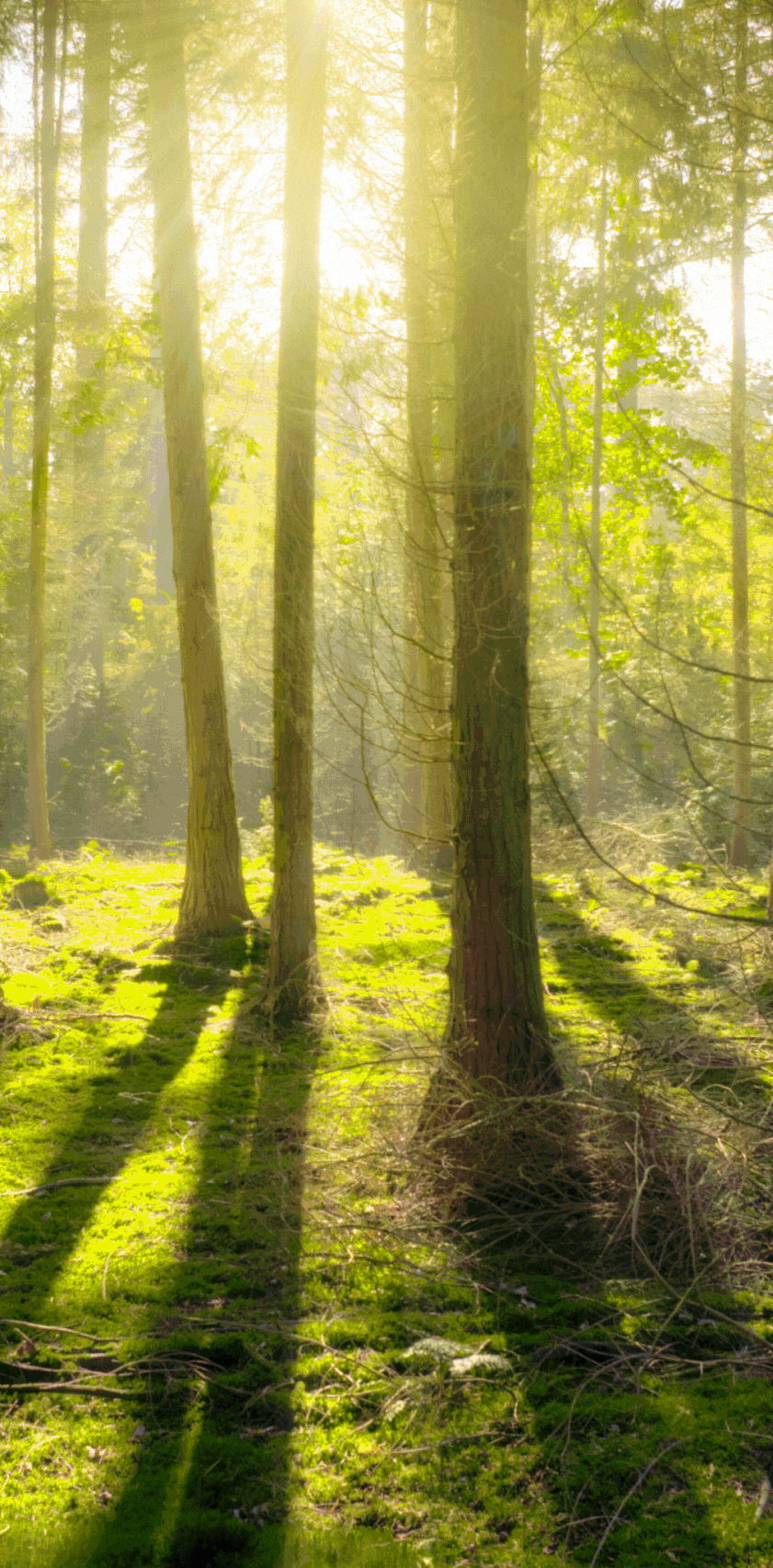
Your community satellite app to prevent destructive wildfires
What ForestSAT App Will Do for You
ForestSAT App brings data and analytics from 12 Earth Observation satellites to create warnings, alerts, and awareness of the biodiversity & forest ecosystem near your community. The app brings forest flora and fauna into human conscience motivating responsible behavior in interaction with the forest lowering risk of fire ignition and wildfire destruction. It is a powerful tool for protection and regeneration of your valuable ecosystem.
12 Satellites on Mobile
Monitoring community and forest eco system with analytics of 12 Earth Observation Satellites
Preventive Action
Take Preventive action against wildfire.
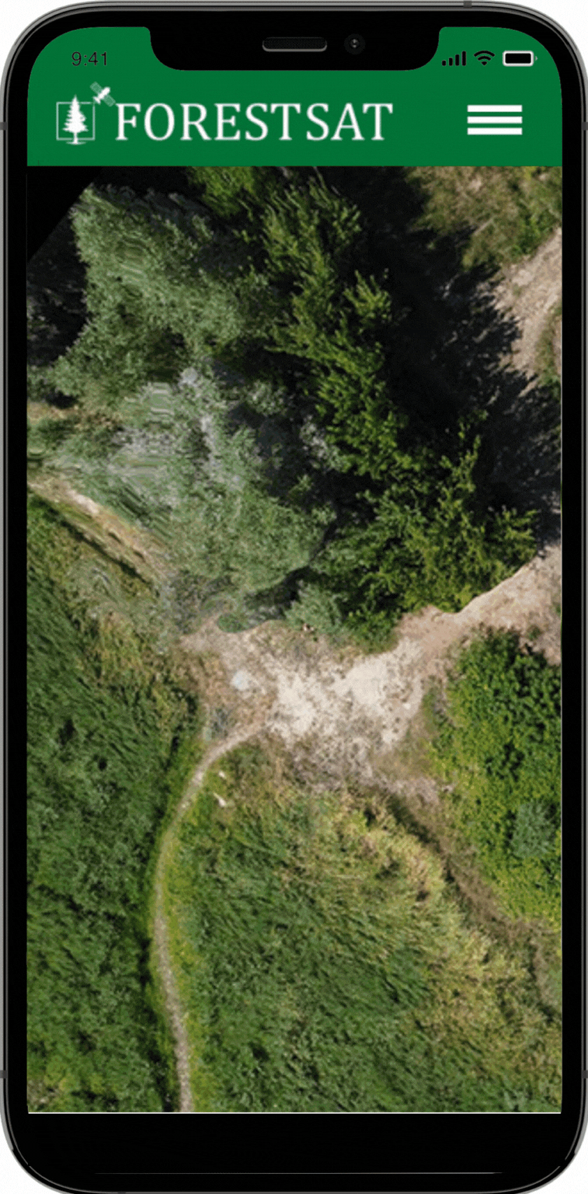
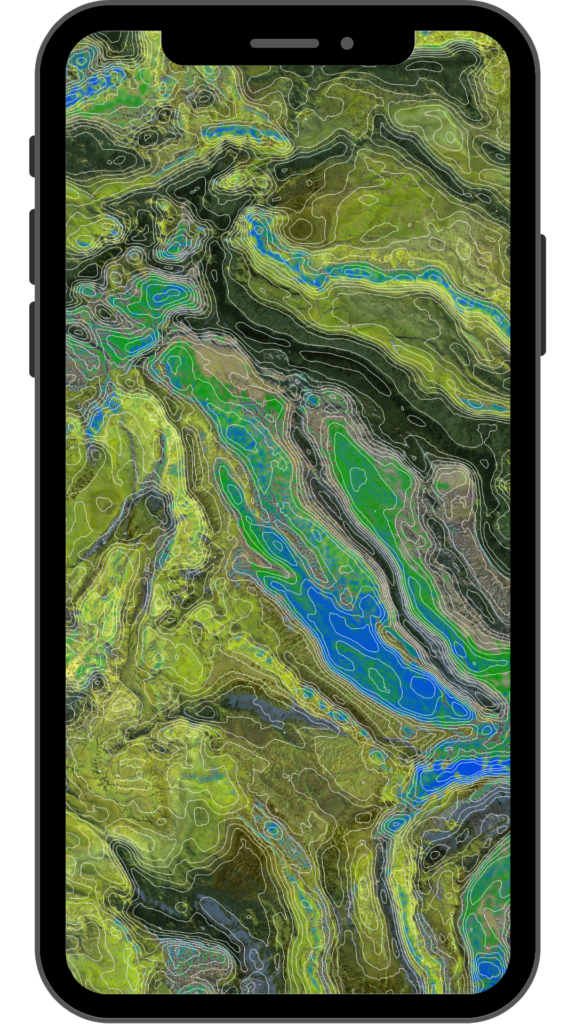
Fire Risk Index
See Granular Wildfire Risk index to understand areas and assets at risk
Community Engagement
Awareness is the key to responsible behavior to prevent ignition.
Empowering Forest Fire Prevention through Innovative Mobile Applications
Unparalleled awareness of the unseen richness of nature and the threats it faces from climate change, commercial exploitation & irresponsible actions.
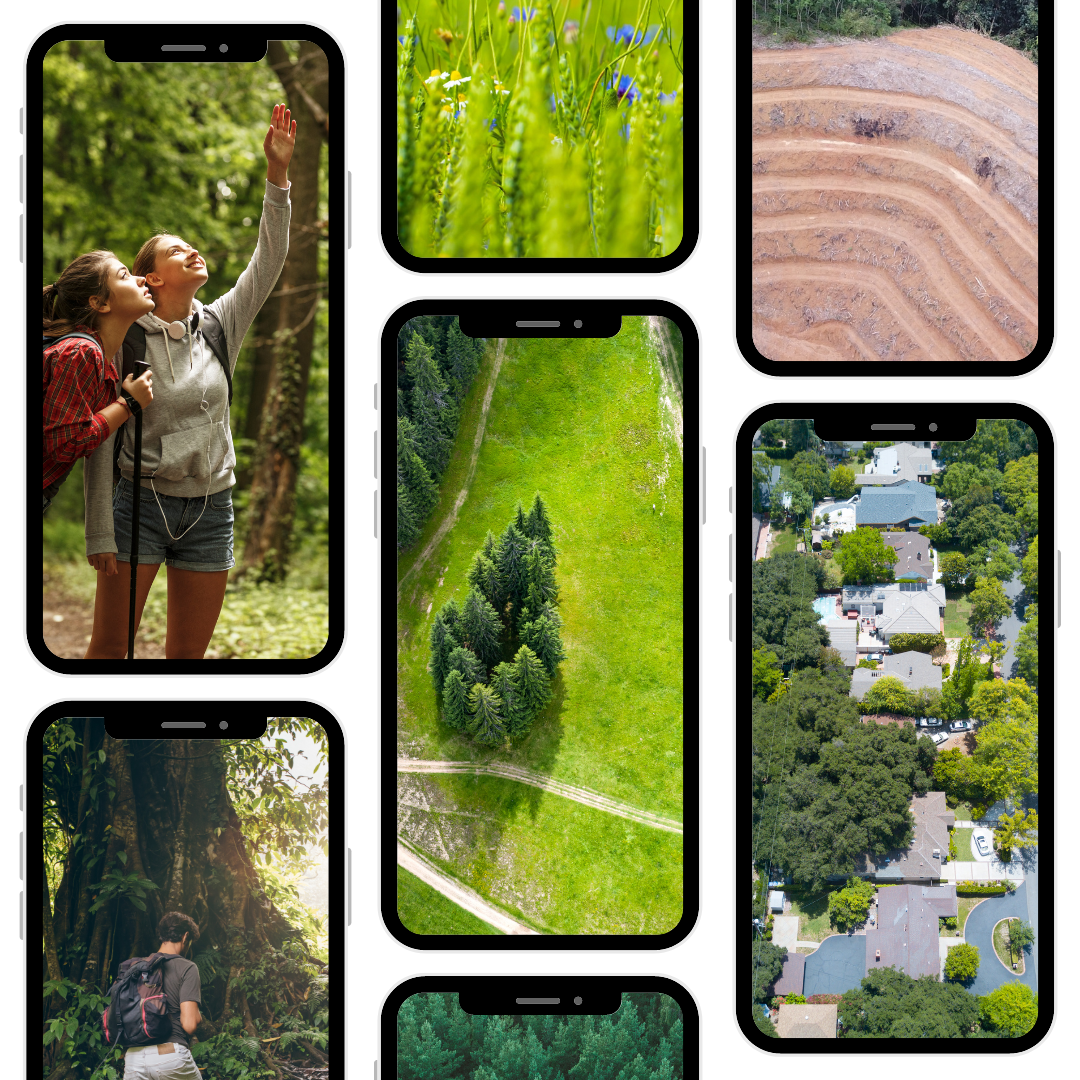
Your ForestSAT app connects community and youth with nature, creating awareness & empathy to protect, defend and regenerate bio diversity and forest ecosystem.
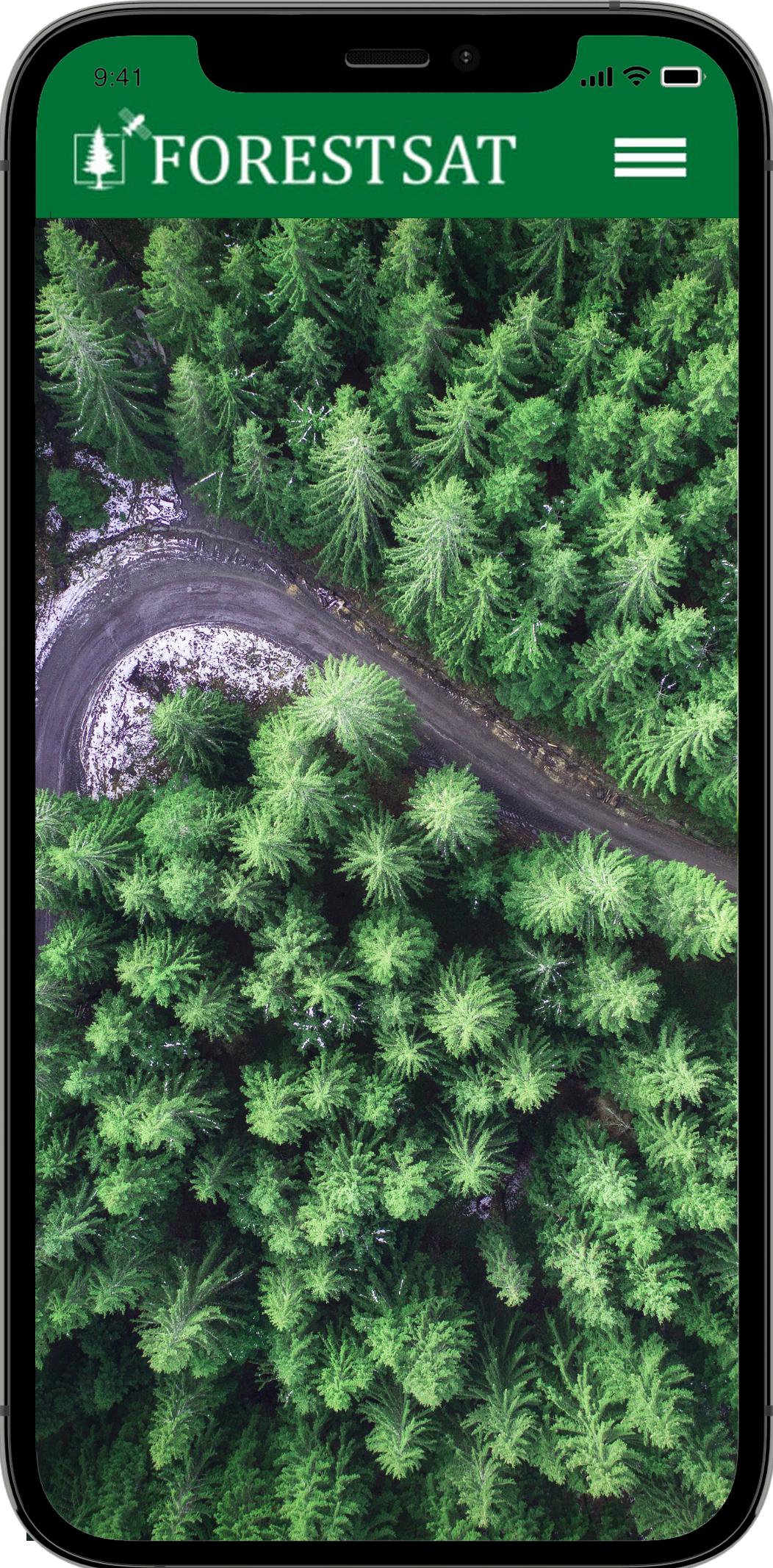
Earth Observation From Satellites to Mobile
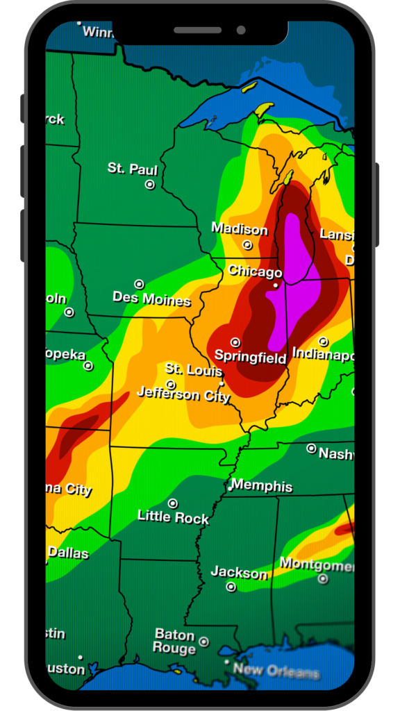
Real-time Fire Detection
Fire Risk index
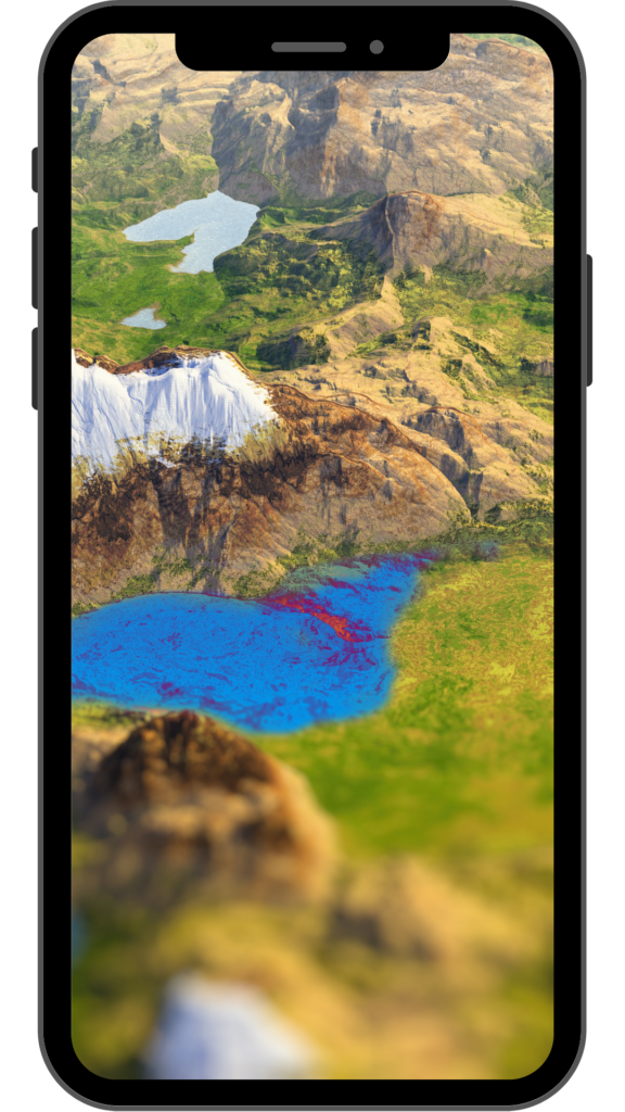
Wildlife Reserves Mapping
Conservation Areas
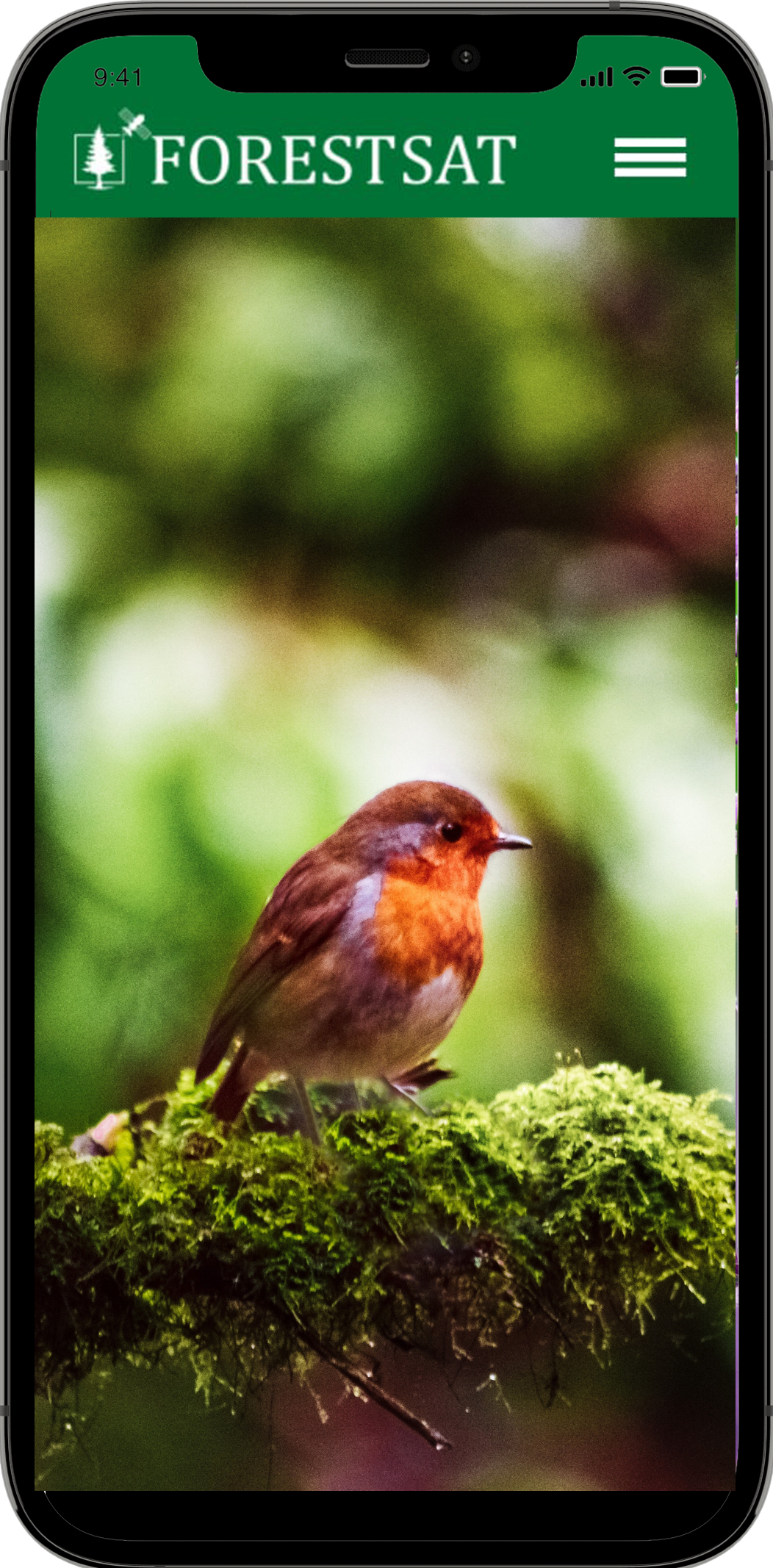
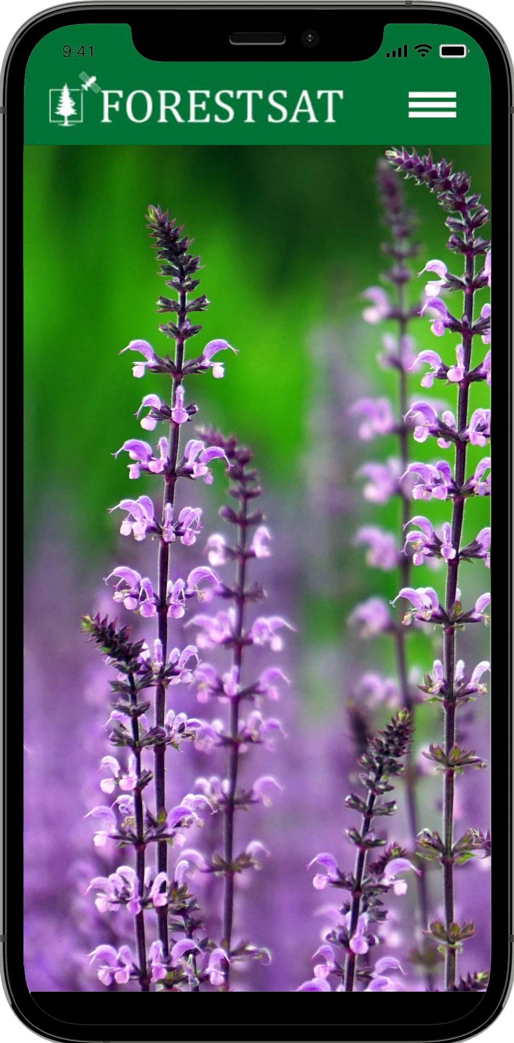
Flora & Fauna Catalogue
Preservation Action Advisory
Processing decades of satellite data straight to the app
SpaceTech for Nature in every hand
Live Satellite Data
Climate Risks
Flora and Fauna
High Risk Areas
Fire Risk Areas
Community Collaboration
Power Packed Features
Satellite Images, Data, Analysis and AI powerpacked into a mobile app for Forest Fire Prevention and Ecosystem awareness
Protecting our forests has never been more crucial. At ForestSAT, we bring together the forces of nature and technology to create mobile applications that combat the destructive forces of wildfires. With our cutting-edge solutions, we empower individuals, communities, and organizations to make a significant difference in forest fire prevention.
Gain the upper hand on Forest Fires with our advanced early detection systems that identify fire risk areas before they can ignite and escalate into megafires.
Take preventive actions and mitigate the risk of fires, protecting lives, property, and our natural environment.
Utilize our mapping and visualization tools to identify fire-prone regions, hotspots, and critical resources.
Optimize resource allocation, plan preventive measures, and enhance preparedness for fire emergencies.
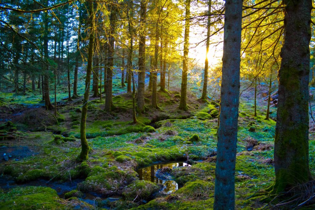
Forest Ecosystem Awareness
ForestSAT is to nature ecosystems what Google Maps is to urban navigation.
We process decades of satellite data from 10 satellites, add analytics of forest data and create a profoundly engaging app, hyper local and customized to your community.