SpaceTech & Artificial Intelligence for Protection of Forests & Communities
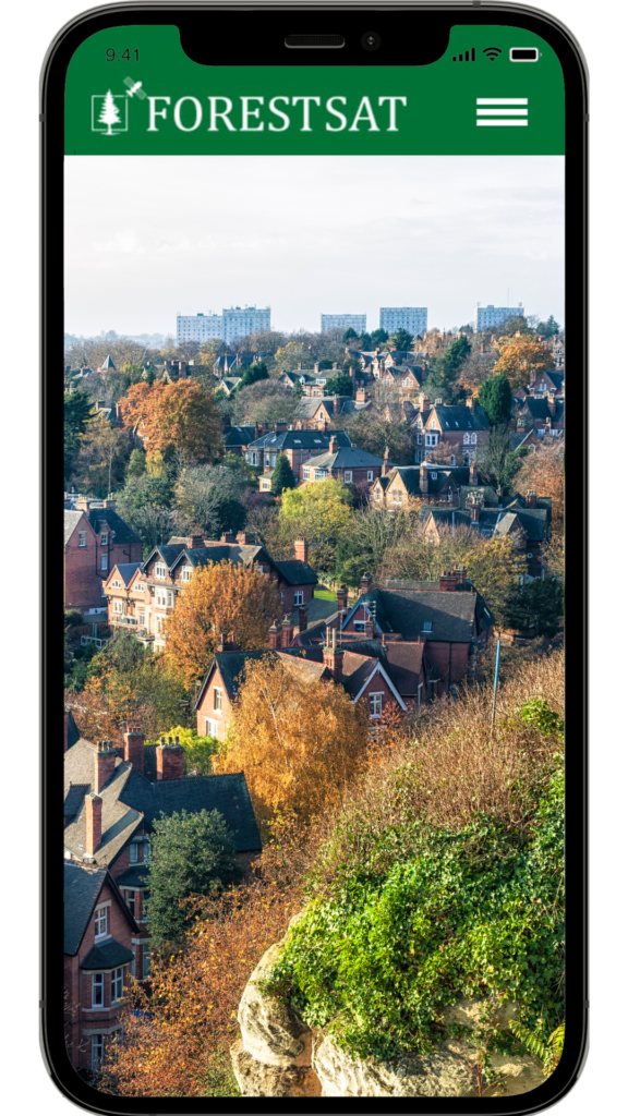
Mobile apps can bridge the gap between satellite data and the public.
They can present complex data in a user-friendly format, allowing individuals to understand and react to potential wildfire conditions in their area.
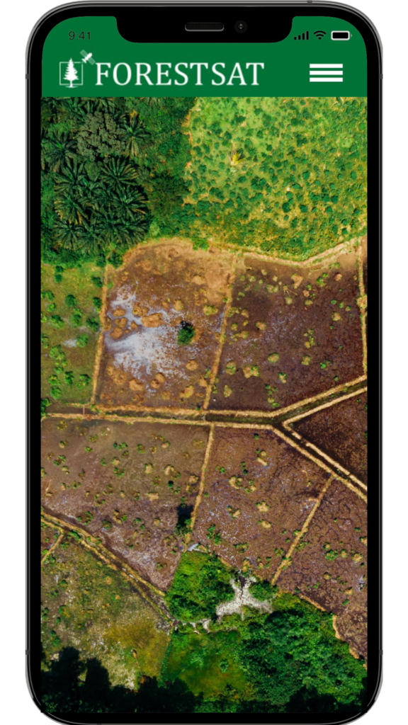
Satellite data provides deep information about soil degradation, soil moisture and precipitation levels.
This information can alert users to periods of extreme dryness that increase the risk of wildfires.
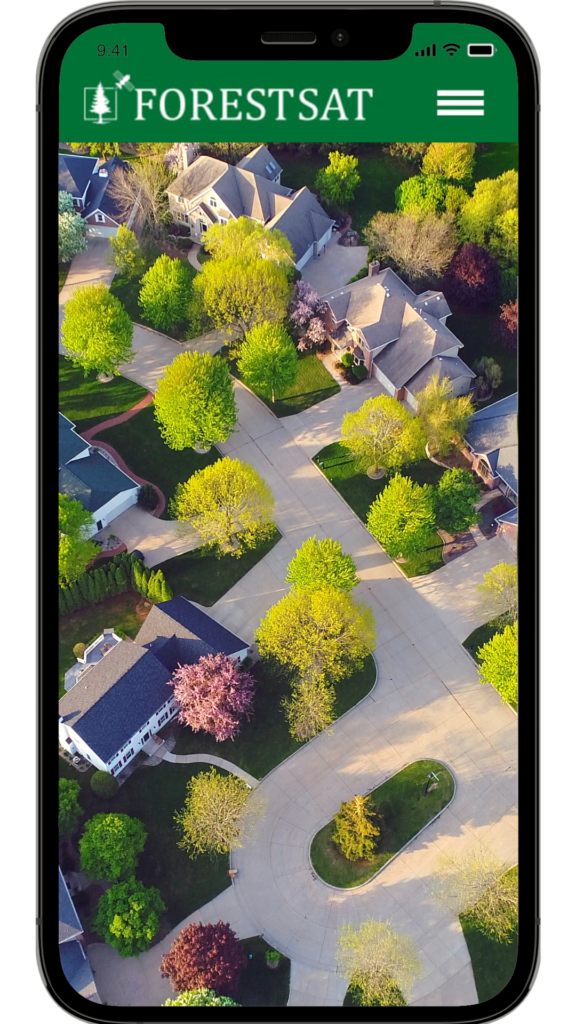
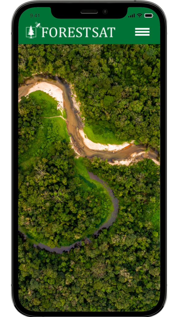
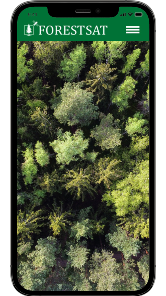
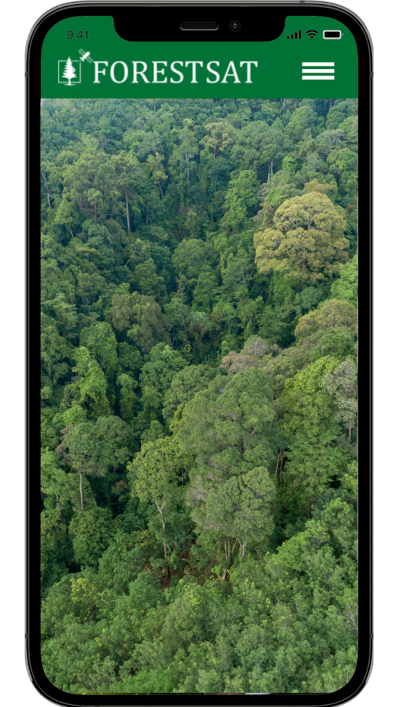
Satellites monitor vegetation health and density, giving us a clear picture of potential forest fuel for wildfires.
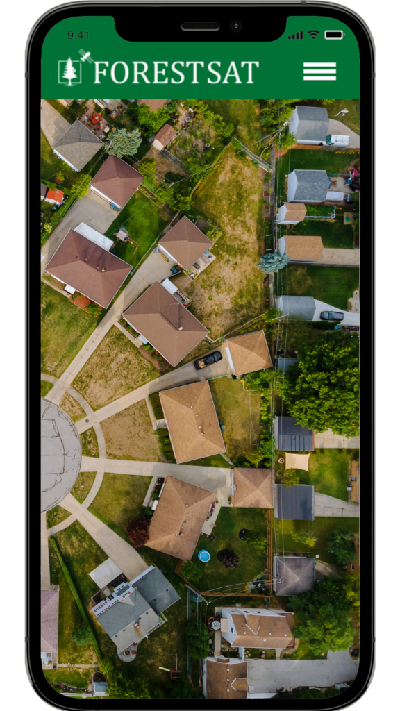
ForestSAT App users are continually alerted which areas have become dry, become overgrown and more susceptible to fires
Tracking Wind Speeds and Patterns
Winds rapidly spread wildfires often turning them into fire storms.
Satellite data tracks wind patterns and speeds, and ForestSAT mobile app can warn users when conditions may contribute to fire spread
Educating the Public: A Crucial Aspect of Wildfire Prevention
ForestSAT mobile app can educate users about wildfire risks and prevention measures. Understanding satellite data can empower individuals to take action and make decisions that help prevent wildfires.
“Leveraging Satellite Data for a Safer Future”
“With satellite data and mobile apps, we have the power to transform our approach to wildfire prevention. By raising awareness and understanding of wildfire conditions, we can protect our communities, our forests, and our planet.”
“ForestSAT App is for forest ecosystems what Google Maps is for urban navigation”
Ajay Goyal
“The Power of Satellite Data in Understanding Wildfire Conditions”
“Satellites continuously monitor our planet, capturing data on environmental conditions including temperature, wind patterns, and vegetation. This data can provide valuable insights into potential wildfire conditions.”
“ForestSAT Mobile App: Making Satellite Data Accessible”
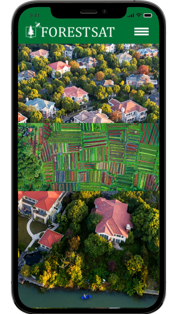
ForestSAT App can bridge the gap between satellite data and the public. Our App brings complex data in a user-friendly format, allowing individuals to understand and react to potential wildfire conditions in their area.
“Understanding the Factors of Wildfires”
“Wildfires are influenced by various conditions including dryness, forest fuel, wind speeds, and temperature. Awareness and understanding of these conditions can be crucial in predicting and preventing wildfires.”
“Empowerment for a Sustainable Future”
By adopting our Satellite Data Forest Awareness App, you become an integral part of a global movement toward sustainable forest management. You join a community of forward-thinking leaders dedicated to preserving our natural heritage, protecting lives, and ensuring a sustainable future for generations to come.
“Intuitive Design for Seamless Adoption”
ForestSAT App is designed with simplicity in mind. Its user-friendly interface ensures a smooth integration into your existing systems and workflows. With minimal training required, community leaders can quickly navigate the app, access vital information, and take decisive action without delay.
“Cost-Effective Forest Protection: ForestSAT App as an Investment”
Adopting our Satellite Data Forest Awareness App is not only a responsible choice but also a cost-effective investment. By proactively preventing forest fires, you save valuable resources that would otherwise be allocated to firefighting, reconstruction, and rehabilitation efforts. Protect your community and the environment while optimizing your budget.