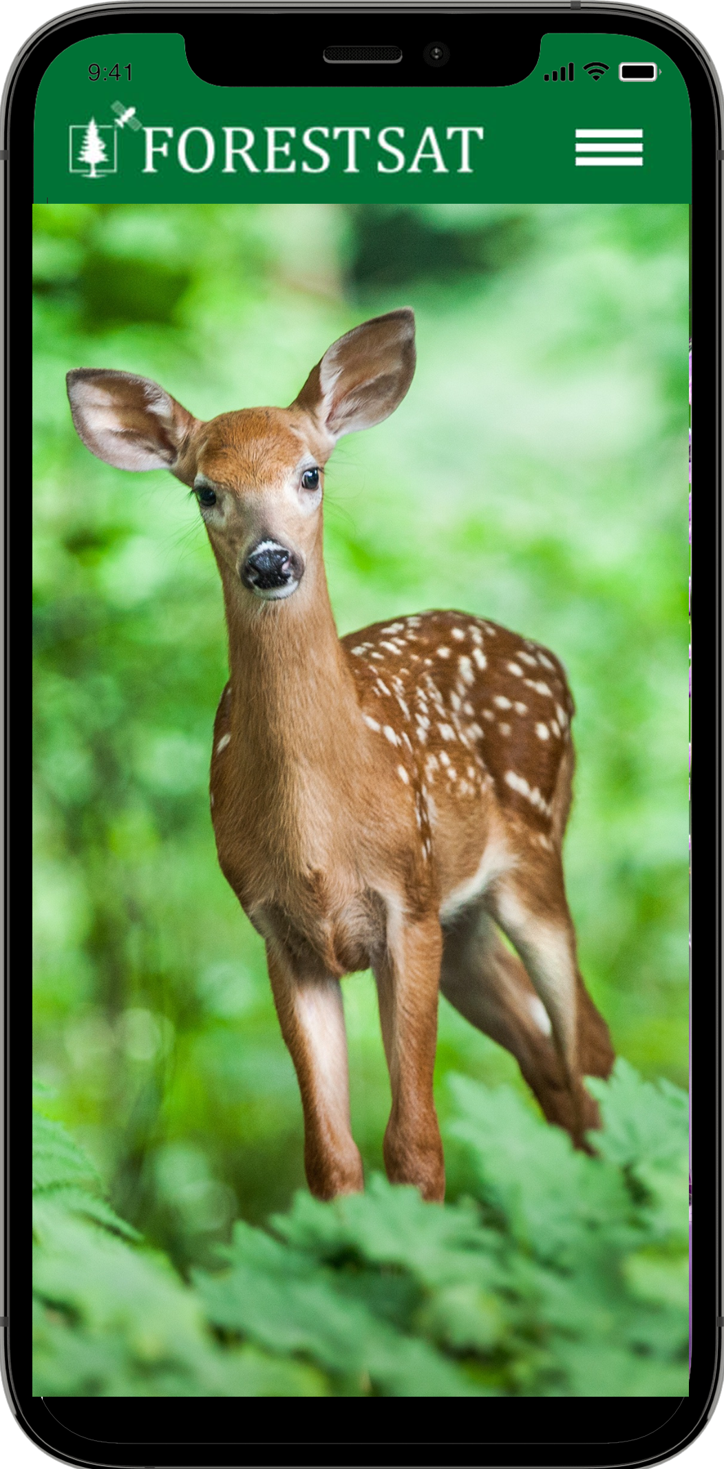
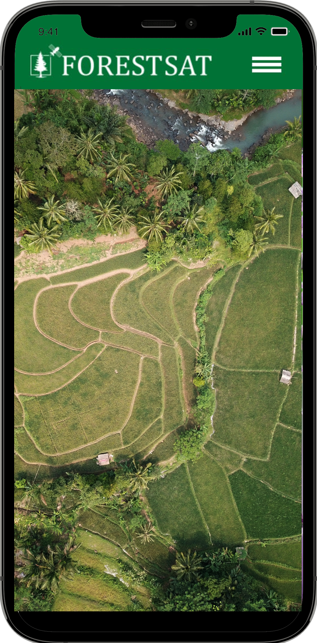
Get unparalelled perspective and awareness of your forest ecosystem, risks and threats therein to take advance preventive mitigative action while engaging community in responsible conservation action.
Power of Satellite Data & AI
Decades of Research
ForestSAT App is packed with decades of research.
Free Satellite Data
ForestSAT App will come loaded with millions of gigbytes of data, absolutely free
Satellite Images Analysed
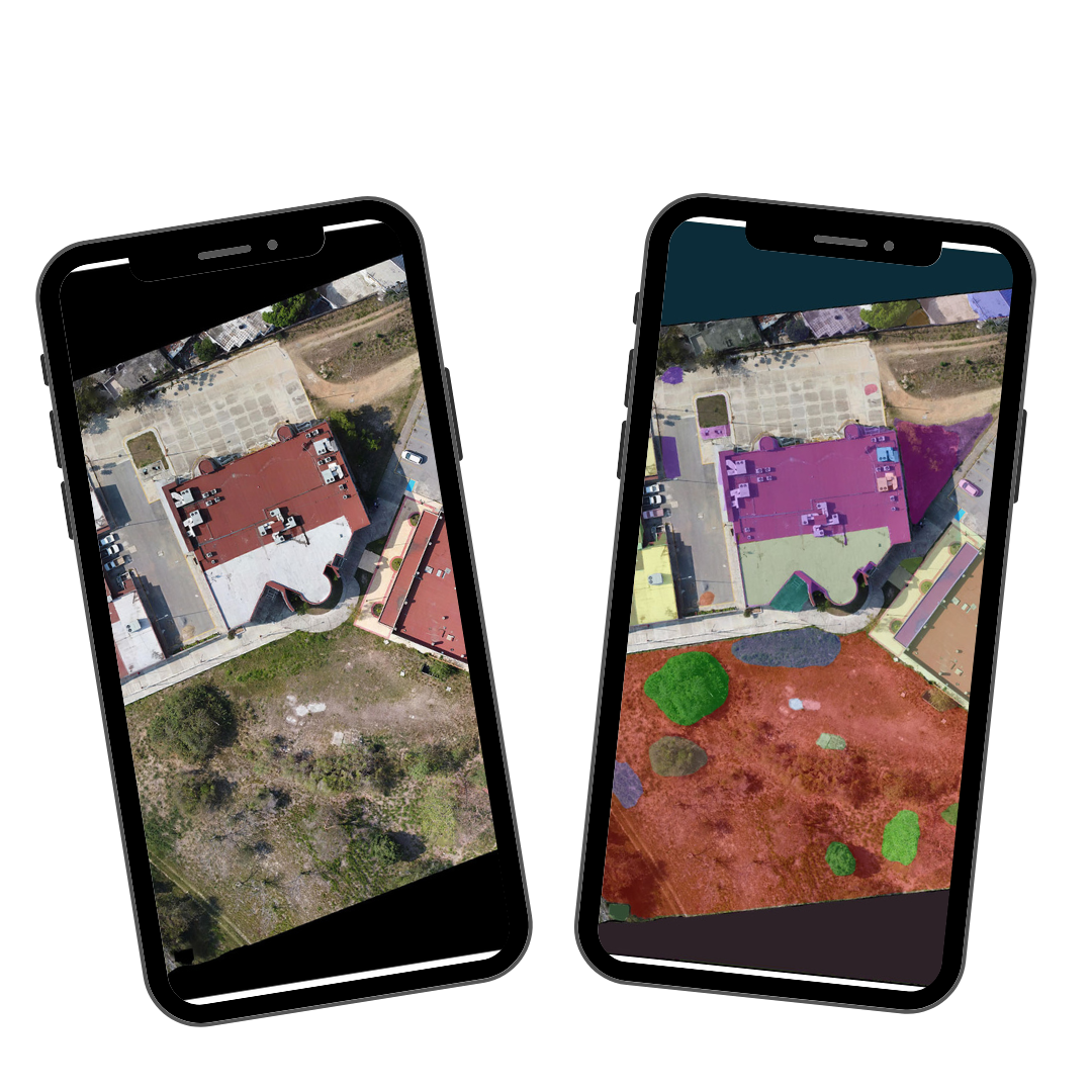
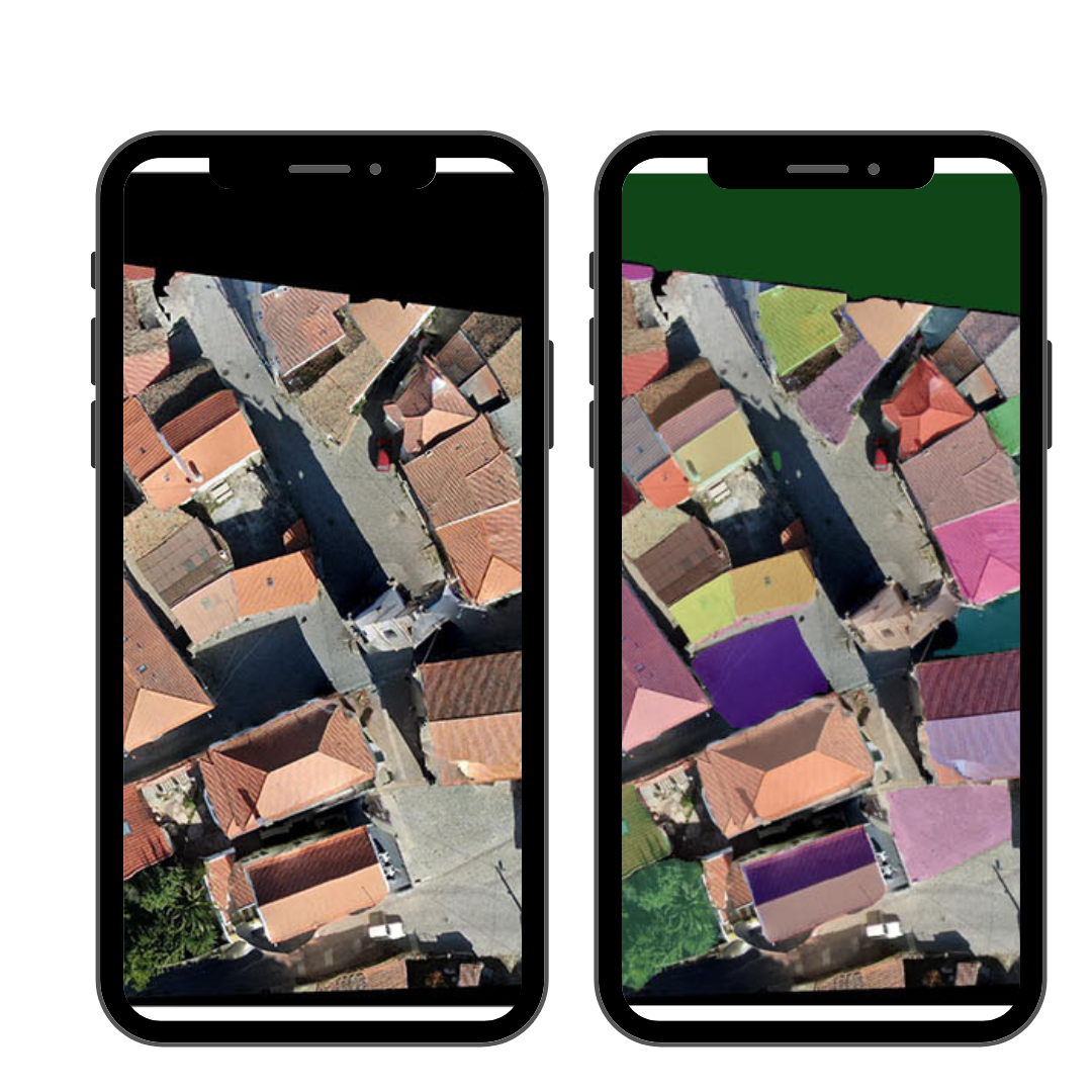
More than 10 years of satellite images from multiple satellites are pore-process, pre-analysed through machine learning in ForestSAT app
Collaboration
ForrestSAT is a collaborative app for local experts, scientists and data providers to plugin and make the app super local
Quick Roll Out
ForestSAT engineers have frameworks in place that can be localized and rolled out within weeks
High ROI
ForestSAT App enables low cost prevention of wildfires leading to regneration of forests with community participation. It can save large costs and damage from actual wildfires.
Benefits of ForestSAT App
With ForestSAT App in your community, you are one step ahead with up-to-the-minute information, enabling you to make informed decisions and take swift action to prevent devastating forest fires.
ForestSAT App has more than 30 satellite data analytics giving a deep insight to the whole community into the ecosystem, you inhabit with earths wonderful flora and fauna.